A Timeline of the Archaeological Survey of India's Historic Milestones
Bottom Line
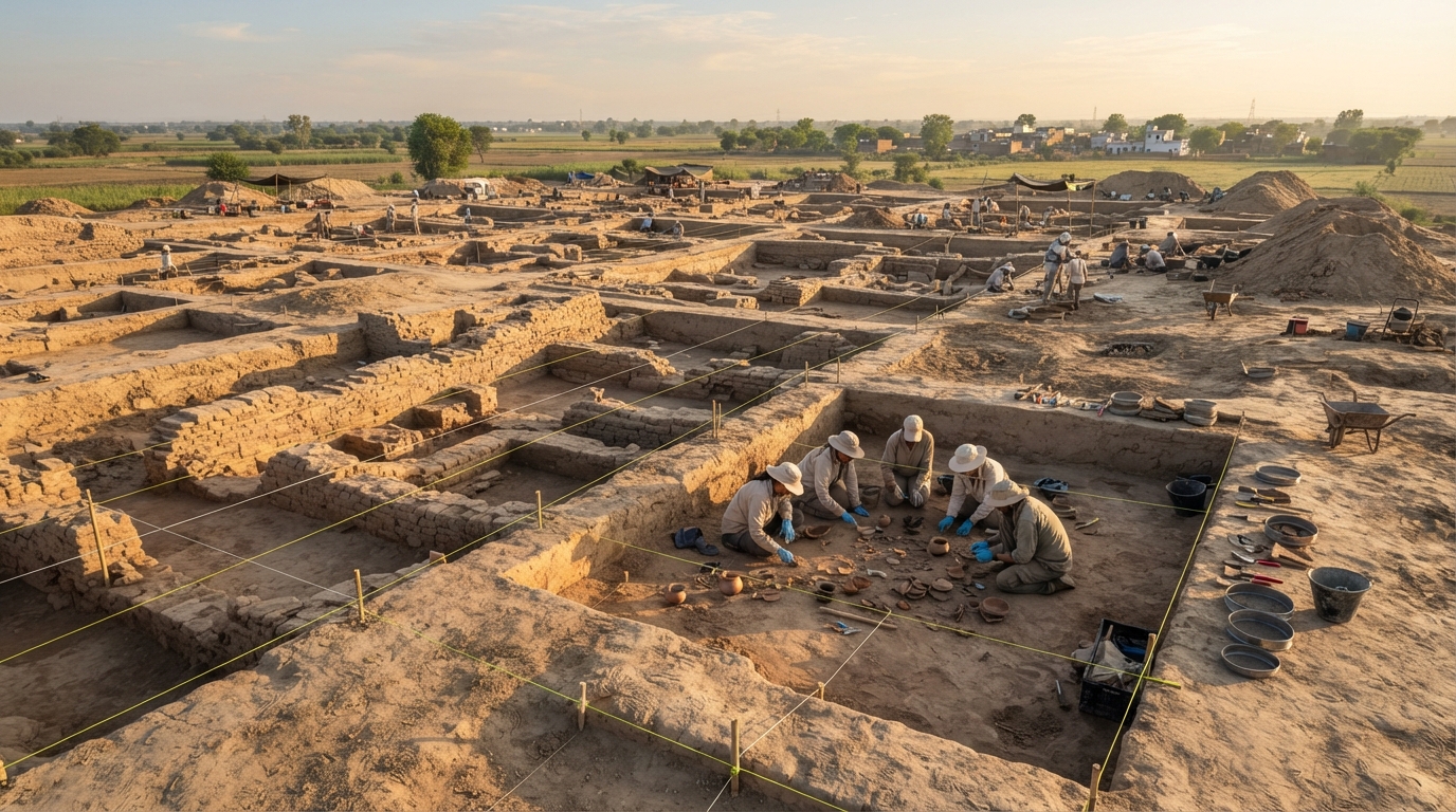
The Archaeological Survey of India is the premier statutory agency under the Ministry of Culture responsible for archaeological research and monument conservation across India. Founded in December 1861 under Alexander Cunningham, the organization protects 3,688 centrally designated monuments, unearths prehistoric urban civilizations, and deploys satellite mapping on ISRO's Bhuvan portal to protect heritage sites.
Key Takeaways
- Alexander Cunningham founded the modern organization in 1861 to document ancient structures.
- Excavations in the 1920s proved Indian urban civilization began over four millennia ago.
- The AMASR Act of 1958 established strict statutory protection zones around central monuments.
- Conservation teams now manage 3,688 protected properties and complex international restoration projects.
Many people assume Indian archaeology began as a planned effort to celebrate the country's ancient artistic achievements. British army engineers actually created field surveys to map terrain and catalog structural ruins for colonial administration. Over more than 160 years, that bureaucratic mapping unit transformed into a sprawling cultural guardian. Studying Archaeological Survey of India history reveals how conservation evolved from colonial antiquarian curiosity into modern scientific preservation.
Today, the organization manages 3,688 centrally protected monuments and sites nationwide [Ministry of Culture, Government of India, 2026]. It also oversees museum collections and epigraphic surveys across every state. Understanding this institutional timeline helps explain how Indian heritage management developed its current scientific priorities and administrative challenges. For readers tracking broader national chronologies, our Indian history timeline chart shows how these archaeological discoveries fit into wider dynastic transitions.
Colonial Foundations and the Birth of Archaeological Survey of India History (1861–1901)
Archaeological Survey of India history between 1861 and 1901 is the foundational era of state-sponsored antiquarian documentation and structural mapping across British India. Established in December 1861 when Governor-General Lord Canning appointed Alexander Cunningham as Archaeological Surveyor, this initial 40-year period prioritized locating ruined Buddhist settlements from ancient travelogues and compiling 23 comprehensive survey reports.
Cunningham’s Early Surveys and Institutional Origins
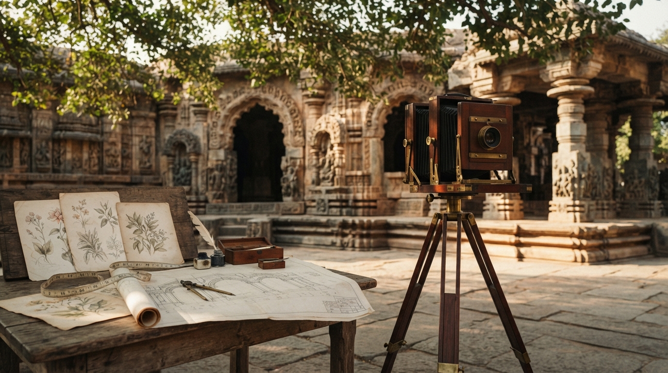
Before 1861, individual amateur scholars carried out most antiquarian studies through the Asiatic Society of Bengal. British scholar William Jones founded the Asiatic Society in 1784 to study regional literature, languages, and ruins. Decades later, army engineer Alexander Cunningham argued that the state needed to fund systematic surveys. Governor-General Lord Canning agreed and appointed Cunningham to lead a dedicated survey of northern India in December 1861.
Cunningham focused heavily on historical geography. He relied on the travel diaries of Chinese Buddhist pilgrims Xuanzang and Faxian to locate lost ancient settlements. His team identified major historical sites like Sarnath, Sanchi, and Bharhut. They documented forgotten stupas and traced architectural developments tied to the Maurya and Gupta empires. However, early work lacked modern excavation methodology. Workers often cleared structural debris quickly to locate coins, inscriptions, and high-value sculptures.
The Structural Instability of 19th-Century Fieldwork
Institutional support remained unstable throughout the late 19th century. The British government abolished Cunningham’s survey post in 1865 to cut spending. Officials restored the position in 1871, naming Cunningham as the first Director General. During this second phase, Cunningham produced 23 detailed survey reports documenting hundreds of historic towns. He trained local assistants and expanded field operations into western and southern provinces.
When Cunningham retired in 1885, institutional momentum slowed dramatically. James Burgess took over leadership and established the major journal Epigraphia Indica in 1888. This publication standardized how scholars deciphered and shared regional inscriptions. Yet provincial governments slashed archaeology budgets repeatedly throughout the 1890s. The survey split into regional circles with little central coordination. As historian Nayanjot Lahiri notes in Finding Forgotten Cities, 19th-century colonial archaeology remained torn between scientific inquiry, imperial identity-building, and bureaucratic inertia.
How Did John Marshall and Mortimer Wheeler Professionalize Indian Archaeology (1902–1947)?
Between 1902 and 1947, institutional archaeology shifted from basic building surveys toward systematic field science and legislative monument protection. John Marshall introduced professional conservation protocols and excavated Indus Valley cities. Mortimer Wheeler later introduced precise stratigraphic methods that established modern scientific standards across the country.
Marshall’s Centralized Conservation and the Indus Civilization Discoveries
Lord Curzon became Viceroy in 1899 and altered the state's relationship with historic monuments. Curzon believed the imperial government had an obligation to preserve India's physical past. In 1902, he appointed 25-year-old classical archaeologist John Marshall as Director General. Marshall unified the fragmented regional circles under central oversight. He secured permanent annual budgets and passed the Ancient Monuments Preservation Act of 1904. This landmark law criminalized the destruction or unauthorized removal of historic structures.
Marshall directed long-term excavation campaigns at Taxila, Sarnath, and Sanchi. His most famous milestone occurred in the early 1920s and became a turning point in Archaeological Survey of India history. Indian archaeologists Daya Ram Sahni and R.D. Banerji conducted excavations at Harappa and Mohenjo-daro under Marshall's general direction. In 1924, Marshall published their findings in The Illustrated London News. The announcements pushed the documented start of Indian urban civilization back by nearly two thousand years. Marshall emphasized chemical conservation, on-site museums, and structural stone stabilization across hundreds of heritage sites.
Stratigraphic Rigor Under Mortimer Wheeler
While Marshall transformed conservation, his field digging techniques lacked vertical precision. Workers frequently dug arbitrary horizontal layers, mixing artifacts from different historical strata. British archaeologist Sir Mortimer Wheeler took over as Director General in 1944 to fix these technical shortcomings. Wheeler brought modern military discipline and precise stratigraphic recording methods to Indian field archaeology.
Wheeler established a residential field training camp at Taxila in 1944. He trained a new generation of Indian archaeologists, including B.B. Lal, A. Ghosh, and B.K. Thapar. These young researchers mastered the grid system of excavation and stratigraphic section drawing. Wheeler directed rigorous excavations at Arikamedu, Brahmagiri, and Harappa. His team proved that Arikamedu had served as an ancient Indo-Roman trading port on the southeastern coast. Wheeler's training programs established the scientific foundation that supported Indian heritage management through the partition of 1947.
Key Eras in Archaeological Survey of India History
Archaeological Survey of India history is a multi-phase institutional timeline spanning five distinct developmental eras from 1861 to the present day. This operational evolution encompasses early colonial field surveys, John Marshall’s conservation reforms, Sir Mortimer Wheeler’s stratigraphic methodology, post-independence expansion under the AMASR Act of 1958, and modern digital geo-fencing across 3,688 centrally protected properties.
Chronological Timeline of Major Institutional Shifts
Archaeological practice in India changed dramatically over the decades. The table below traces the key operational eras, leadership transitions, and core institutional shifts that defined the organization.
| Historical Era | Key Leadership | Core Focus & Milestones | Primary Legal / Institutional Shift |
|---|---|---|---|
| Colonial Foundation (1861–1901) | Alexander Cunningham, James Burgess | Identification of Buddhist sites, epigraphic mapping, compilation of 23 survey volumes | Creation of the Archaeological Surveyor post (1861); founding of Epigraphia Indica (1888) |
| Conservation & Urban Origins (1902–1943) | John Marshall, Daya Ram Sahni, R.D. Banerji | Discovery of Harappan civilization, excavation of Taxila, nationwide structural repairs | Ancient Monuments Preservation Act of 1904; unified central administration |
| Methodological Reform (1944–1947) | Sir Mortimer Wheeler | Stratigraphic field recording, Taxila training school, Indo-Roman trade studies | Introduction of the Wheeler-Kenyon grid system across regional circles |
| Post-Independence Expansion (1947–1999) | N.P. Chakravarti, A. Ghosh, B.B. Lal | Post-partition survey of Harappan sites, expansion of state circles, overseas conservation | Enactment of the AMASR Act of 1958; establishment of 100m prohibited buffer zones |
| Modern Digital Era (2000–Present) | Multiple Directors General | Multi-disciplinary science, GIS mapping, DNA profiling, international antiquities repatriation | AMASR Amendment Act of 2010; ISRO Bhuvan satellite geo-fencing integration |
Legislative Milestones and the AMASR Act of 1958
Following independence in 1947, Indian policymakers needed a legal framework to protect cultural properties. The government enacted the Ancient Monuments and Archaeological Sites and Remains (AMASR) Act in 1958. This statute replaced older colonial regulations and remains the primary legal foundation for site preservation. The law authorized the agency to declare sites as monuments of national importance. It established strict prohibited zones of 100 meters around every protected site, banning modern construction.
Parliament passed the AMASR (Amendment and Validation) Act in 2010 to strengthen these regulations. The 2010 amendment added a 200-meter regulated zone beyond the 100-meter prohibited buffer. Construction within this regulated belt requires formal permission from the National Monuments Authority. These statutory limits protect delicate foundations from urban vibrations and visual encroachment. The legal evolution of heritage protection mirrors broader administrative milestones covered in our guide to historic dates in modern India.
How Has the Agency Managed Global Diplomacy and Major Post-Independence Excavations?
After 1947, the agency led massive field surveys to replace Harappan sites lost during partition. It excavated major prehistoric cities across Gujarat, Rajasthan, and Haryana using advanced scientific methods. The organization also expanded abroad, deploying conservation specialists to restore world-famous temples in Southeast Asia and Afghanistan.
Milestone Field Projects from Kalibangan to Rakhigarhi
Milestone field projects from Kalibangan to Rakhigarhi are landmark post-independence archaeological excavations that reshaped scientific understanding of the Bronze Age Indus Valley Civilization in India. Led by archaeologists like A. Ghosh, B.B. Lal, S.R. Rao, and R.S. Bisht, these field campaigns identified major urban settlements across Rajasthan, Gujarat, and Haryana following the 1947 partition.
A. Ghosh directed surveys in the Bikaner region along the dried beds of the Ghaggar-Hakra river system that revealed dozens of prehistoric settlements. B.B. Lal led major excavations at Kalibangan in Rajasthan during the 1960s, discovering early agricultural furrows and mature Harappan town planning. S.R. Rao excavated the port town of Lothal in Gujarat, documenting an engineered tidal dockyard.
R.S. Bisht began excavations at Dholavira in Gujarat's Rann of Kutch during the 1990s. The site revealed sophisticated rainwater harvesting reservoirs and monumental stone architecture. In recent years, multi-disciplinary work at Rakhigarhi in Haryana has applied modern scientific techniques. Field teams now combine traditional excavation with ancient DNA profiling, 3D photogrammetry, and ground-penetrating radar. These investigations clarify population genetics and urban drainage systems from the third millennium BCE.
Overseas Conservation Missions Beyond India’s Borders
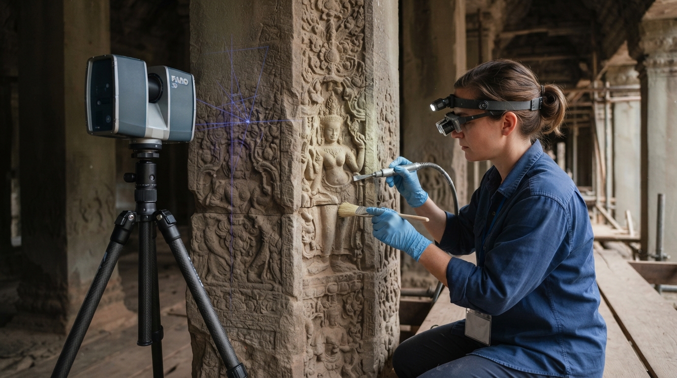
The agency’s technical mandate extends far beyond domestic borders. In the 1970s, Indian chemical conservators and structural engineers stabilized the giant rock-cut Buddhist figures in Bamiyan, Afghanistan. They repaired cracked cliff faces and preserved ancient pigment layers. Between 1986 and 1993, specialized engineering teams restored the complex stone structures of Angkor Wat in Cambodia. Workers cleaned centuries of biological growth from porous sandstone walls.
Similar international conservation partnerships continue today across Southeast Asia. Indian conservationists have stabilized the jungle-enveloped towers of Ta Prohm in Cambodia and the 5th-century temple complex at Vat Phou in Laos. These projects require delicate engineering calculations to support collapsing stone lintels without removing native tree roots. International missions demonstrate how traditional masonry expertise and modern chemical science work together in challenging tropical environments.
Modern Challenges and the Future of Indian Heritage Management
Modern Indian heritage management is the administrative and scientific framework through which the Archaeological Survey of India protects 3,688 centrally designated national monuments amidst rapid urbanization. In the 21st century, Archaeological Survey of India history focuses on addressing technical staff shortages, delisting untraceable colonial-era sites, implementing satellite geo-fencing via ISRO's Bhuvan portal, and repatriating illicitly exported antiquities.
The Crisis of Untraceable Sites and Delisting Procedures
Rapid urban expansion around metropolitan centers has placed severe pressure on unprotected buffer zones. Decades of unmonitored development caused several small colonial and medieval structures to disappear entirely. Early colonial lists often used vague geographical descriptions, such as describing a site as "a tomb near a village well." In 2024, the government formally initiated delisting proceedings under Section 35 of the AMASR Act for 18 untraceable monuments [Archaeological Survey of India Gazette Notification, 2024].
These lost structures include Kos Minar No. 13 in Haryana and the Barakhamba Cemetery in Delhi. Delisting removes statutory construction bans that previously restricted local property owners around sites that no longer exist physically. As Union Minister of Culture Gajendra Singh Shekhawat observed, modern management must balance strict heritage protection with realistic urban needs. Delisting permits administrative circles to focus limited resources on surviving monuments that possess clear structural value.
Digital Geofencing, Staffing Deficits, and Antiquities Recovery
Modern preservation relies heavily on digital technology to prevent illegal building activities. The agency completed satellite boundary mapping and geo-tagging for all centrally protected monuments on ISRO’s Bhuvan GIS portal [Press Information Bureau, 2026]. This system alerts local administrators when new construction breaches the 100-meter statutory buffer. For FY 2025–26, the central government allocated ₹376.88 Crore for monument conservation and site development [Ministry of Culture, Government of India, 2026].
Institutional capacity remains a pressing operational challenge. Official parliamentary data shows 3,073 vacant field and technical posts out of 8,755 total sanctioned roles [Lok Sabha Unstarred Question Reply, 2026]. This 35% vacancy rate slows epigraphic studies and routine chemical maintenance. Meanwhile, the survey recorded 56.65 million visitors across its 145 ticketed monuments during FY 2024–25 [Ministry of Tourism / Dataful, 2025]. The agency also coordinates international recovery operations, repatriating over 600 illicitly exported antiquities to India in recent years [Ministry of Culture, 2026].
Frequently Asked Questions
Q: When was the Archaeological Survey of India founded and by whom? British military engineer Alexander Cunningham founded the organization in December 1861 with the support of Governor-General Lord Canning. Cunningham served as the first Archaeological Surveyor and later became the first Director General in 1871.
Q: How many centrally protected monuments does the ASI oversee today? The organization manages and protects 3,688 centrally designated monuments and archaeological sites across India [Ministry of Culture, Government of India, 2026]. These properties include ancient rock shelters, temples, stepwells, forts, and colonial buildings.
Q: What is the purpose of the 100-meter prohibited zone around monuments? The Ancient Monuments and Archaeological Sites and Remains Act of 1958 bans all commercial and residential construction within 100 meters of a protected site. This statutory buffer protects ancient structural foundations from construction vibrations and prevents visual clutter around historic landmarks.
Q: Which famous archaeological discoveries were made under John Marshall's tenure? John Marshall oversaw the discovery and excavation of the Indus Valley Civilization cities of Harappa and Mohenjo-daro during the early 1920s. His administration also conducted extensive scientific digs at Taxila, Sanchi, and Sarnath.
Heritage preservation depends on active public engagement and informed local stewardship. Visiting ticketed sites supports regional conservation funds and highlights the value of protecting ancient architecture. When touring protected monuments, follow all posted conservation rules, stay on marked pathways, and avoid touching fragile stone carvings. You can report damaged or encroached sites directly to your regional circle office to support local preservation efforts.
Further reading
- Finding Forgotten Cities by Nayanjot Lahiri: A detailed historical account of how John Marshall, Daya Ram Sahni, and early field teams uncovered the Indus Valley Civilization.
- A History of Indian Archaeology: From the Beginning to 1947 by Dilip K. Chakrabarti: A thorough academic study tracing the institutional development and field techniques of colonial-era Indian archaeology.
- Archaeological Survey of India Official Portal (asi.nic.in): The central government repository for protected monument lists, excavation reports, and statutory conservation guidelines.
- ISRO Bhuvan Heritage Portal: An interactive satellite mapping tool that displays geo-tagged boundary coordinates for centrally protected monuments across India.
Related Reading
- India at the Olympics: A Timeline of Historic Sporting Milestones
- Milestones in Indian Women's History: A Chronological Guide
- 1,000 Years of Indian Medical History: A Chronological Guide
- Economic Milestones in Indian History: From 1947 to Present
Sources
- ASI to remove 18 'untraceable' monuments from its list of protected sites — The Indian Express, 2024. Supports: The initiation of delisting proceedings under Section 35 of the AMASR Act for 18 untraceable monuments, including Kos Minar No. 13 and Barakhamba Cemetery.
- Centre earmarks Rs 376.88 cr for ASI sites in 2025-26 — Awaz The Voice, 2026. Supports: The central government budget allocation of ₹376.88 crore for monument conservation in FY 2025–26 and the 3,073 vacant technical posts out of 8,755 sanctioned roles.
- 18 monuments delisted from centrally protected monuments list since 2021 — The Pioneer, 2026. Supports: The current national tally of 3,688 centrally protected monuments and sites under the care and maintenance of the Archaeological Survey of India.
- Strengthening conservation capacity — Press Information Bureau, 2026. Supports: The international recovery and repatriation of over 600 illicitly exported antiquities to India.
- 414 protected monuments and areas witnessed encroachments; government says appropriate action taken in such cases — The Economic Times, 2026. Supports: The integration of boundary geo-referencing and satellite mapping for centrally protected monuments on ISRO's Bhuvan portal.
- Sarnath's Path to the World Heritage List — Press Information Bureau, 2026. Supports: The Archaeological Survey of India's statutory mandate under the Ministry of Culture in enforcing the AMASR Act of 1958 and managing national heritage properties.